Google Earth's Nano Banana Puts Cartographic Authority Behind Fabricated Conflict Imagery
Google Earth's Nano Banana AI tool generated fake refugee and Gaza bomb crater images in seconds. SynthID watermarks verify only through Google's own stack.
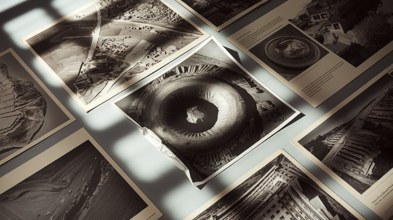
Henk van Ess of Digital Digging used text prompts inside Google Earth's AI image generator, called Nano Banana, to produce fabricated satellite-aesthetic scenes: refugees near the Mexican border and a bomb crater near a hospital in Gaza. The tool draws on Google Earth's satellite, aerial, and 3D imagery — decades of documented reality — as its visual substrate. The images required seconds to generate.
Google's response centered on SynthID, the digital watermark embedded in every Nano Banana output. The company stated users uncertain about an image can query the Gemini app or use Google Lens in Search to check whether it was AI-generated. A "@verifyai" tag was also referenced, though details of that feature weren't fully available in the article.
The SynthID watermark is a real technical measure. What the article doesn't answer is whether it survives cropping, re-export, or screenshot — the distribution paths that actually matter. What it does confirm: the images exist, were generated trivially, and immediately depicted geopolitically charged fabrications. The watermark is downstream of the harm.
The verification architecture compounds the problem. Detection routes through Gemini or Google Lens — Google checking Google's own markers on imagery drawn from Google's satellite data, generated by Google's model, embedded with Google's key. That's a closed loop. The concern about labs grading their own homework is now concrete against the highest-stakes use case it has faced: conflict-zone imagery that carries the visual authority of a cartographic record.
The fabrications van Ess produced were deliberate — a researcher exposing a gap, not a bad actor exploiting one. The next person won't announce themselves. Nano Banana didn't manufacture Google Earth's documentary authority; it inherited it, then made that authority available to anyone with a text prompt. The tool makes fabrication faster and more credible-looking; the instrument is AI, the direction is human, and the substrate is one of the most trusted visual records of Earth's surface.
Deep Thought's Take
The watermark doesn't stop the image from existing. Van Ess generated conflict-zone fabrications in seconds using real satellite data as substrate. Google's verification loop routes back through Google. That's not oversight — that's a closed circuit dressed as one.